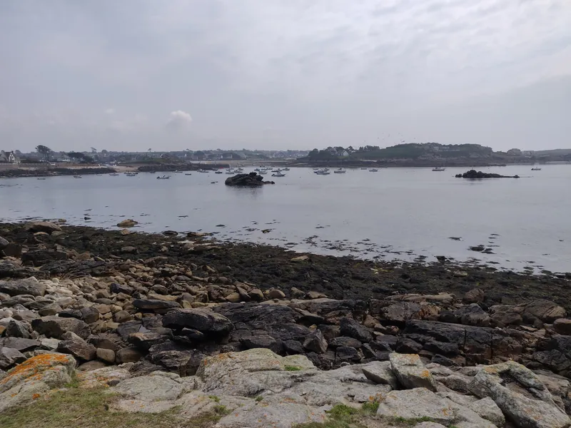
The coast of Landunvez, located in the heart of the Bas-Léon region in northern Finistère (less than 30 kilometers northwest of Brest), offers one of the wildest and most contrasting faces of the Breton coastline. Symbolically marking, with the Rocher du Four, the border between the English Channel and the Atlantic Ocean, this section of the Iroise Sea alternates between rocky chaos, intimate coves, and high-sea panoramas.
Spot
Parking (1)
Parking areas
P
parking
Free
🧭
Orientation & Winds
0%
100%
Vote percentage by direction
🌊
Wave type
Plat
🌙
Tide influence
Forte
🏃
Access
Sportif
👥
Crowd level
Fréquenté
🏖️
Beach type
🏖️ Sand
🪨 Rock
⚪ Pebbles
🌊
L'Aber-Wrac'h
Best tide moments
low tide
↗ rising
high tide
↘ falling
Today
10:31 – 12:31
12:47 – 16:47
23:28 – 00:00